
Defending Territory Requires Accurate Maps
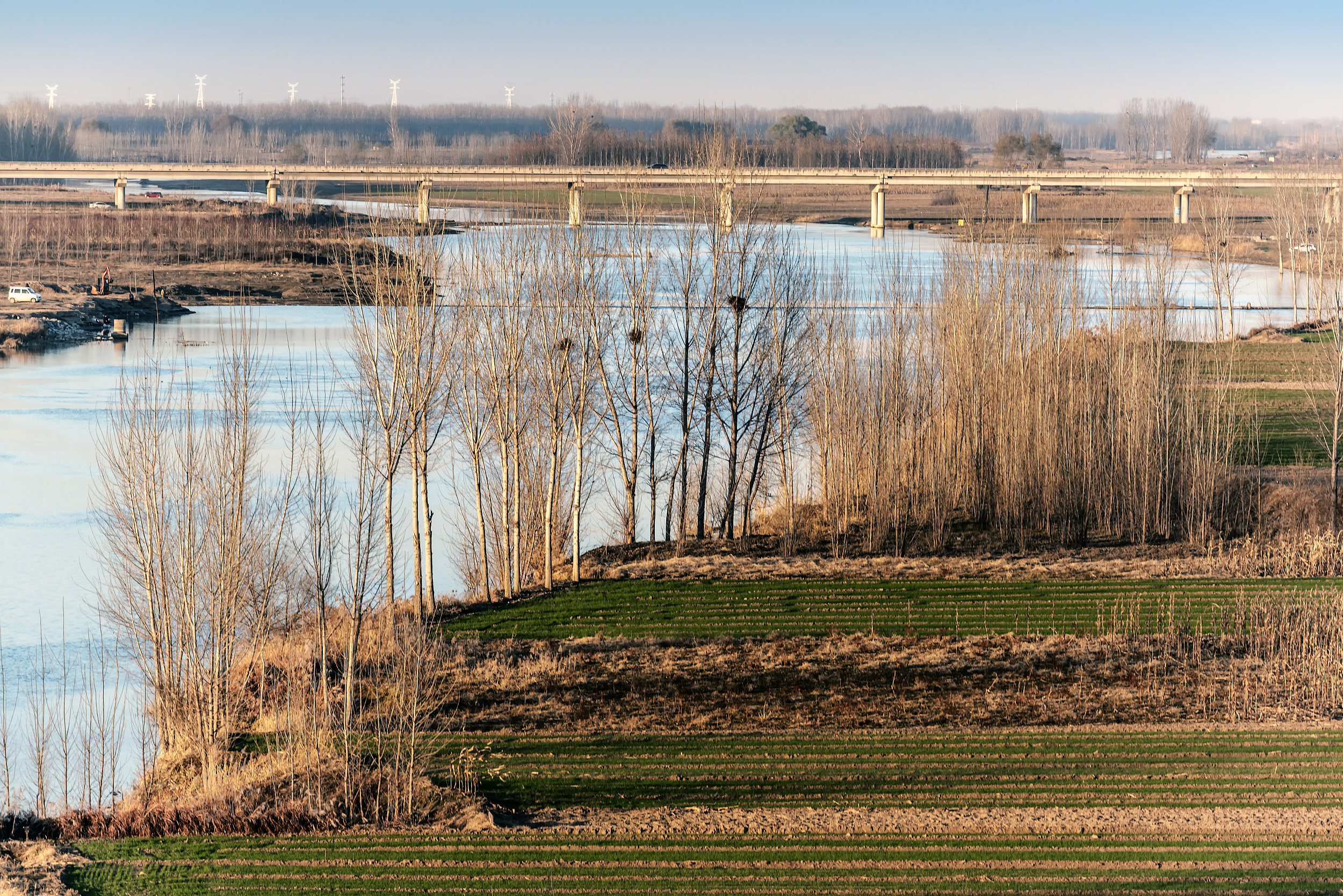
The picture shows the Baigou River in Gaobeidian city, Hebei province, which was once the border between the Song Dynasty and the Liao Dynasty. (PHOTO: VCG)
By?ZONG?Shihan
Back in ancient China, the Liao dynasty (907-1125), located in northern China, sought to expand its territory through using an unknown mountain as a reference point, in order to push the boundary further south into the territory of the Song dynasty. However, both nations had previously agreed that the Baigou River would serve as the dividing line, with the land north of the river belonging to the Liao and the land south of the river to the Song.
Faced with this dilemma, Shen Kuo (1031-1095) utilized the Shouling Tu — the most accurate administrative map in that era — as evidence to demonstrate that the contested mountain was situated south of the Baigou River, firmly establishing it as part of the territory of the Song dynasty. The Shouling Tu, which was drawn by Shen in twelve years, played an important role in defending the territory.
A millimeter error on the map could mean a thousand miles in reality. According to his book Dream Pool Essays, in order to overcome the challenges posed by different terrains, Shen further developed Pei Xiu's Six Basic Principles for Cartography around the 3rd century AD, when he tried to draw the Shouling Tu.
Shen made three notable advancements in his map-making endeavors. First, he employed a larger scale, enabling more detailed depictions of areas of the same size. Second, he increased the number of directional indicators from eight to 24, greatly improving measurement accuracy. Third, he replaced the traditional method of measuring distances by walking along the road with straight-line distance measurement, minimizing unnecessary errors caused by winding roads.
Dedicating his life to creating a comprehensive and accurate map, along with surveying and mapping methods, Shen produced an overall lay out of the entire country, along with individual maps of each province and county.